|
The slickrock country that surrounds the lower Escalante
River is a hiker�s paradise of redrock canyons, natural arches, hidden
springs, and Indian artifacts. Most of the hiking trails in the area lead
into the canyon tributaries of the Escalante. More than twenty canyons drain
into the river before it reaches Lake Powell, and nearly every canyon
contains something special.
This hike will take you into two of the canyons of the
Escalante River drainage: Fence Canyon and Neon Canyon. Fence is a heavily
vegetated canyon with permanent water that was once used by local cattle
ranchers. It is a box canyon with no way out on its west side, so
enterprising cattlemen once maintained a fence across its lower end to
enclose their animals.
Neon Canyon is also a box canyon, but in this case the
canyon ends in a large sandstone alcove with a 10-foot-diameter hole in its
roof. If you are lucky enough to be in Neon after a storm you can see water
pouring 80 feet down through the hole into a large pond on the floor of the
alcove. This alcove is called the Golden Cathedral, and even when there is
no water in the stream above it is a site to behold.
From Egypt Trailhead the trail plunges almost immediately
over the upper rim of the Escalante Basin to begin its descent down the
slickrock towards Egypt Bench below. Crude steps have been cut into the
sandstone in a few places, and numerous scratches on the rock suggest that
the trail is often used by packhorses. The route descends 450 feet over 0.5
mile before finally leveling out on the flat, sandy bench at the bottom of
the Navajo Sandstone. From there you will see a hiker-made trail heading off
in a northeasterly direction along the north side of Fence Canyon. Initially
Fence is nothing more than a dry desert wash, but it quickly gains depth and
within a mile the canyon floor steps down 200 feet over a pouroff that
effectively prevents travel along the streambed.
1.9 miles after its descent to Egypt Bench the trail
arrives at a point above the confluence of Fence Canyon and its northern
fork. From there the path switchbacks down to the confluence and follows a
small stream the last 0.2 miles to the Escalante River. A few minutes into
the walk down Fence Canyon you will see a split in the trail where some
hikers have climbed to a sandy ledge 15 feet above the north side of the
creek. Turn left here to see a few remnants of an old cowboy camp that was
once used by the cowboys tending their heard in Fence Canyon. There was
still a cabin on this bench in the 1980s, but now all that is left is the
foundation.
Fence Canyon meets the Escalante River just a few feet
from where the old cabin used to be. At that point you must wade into the
river and walk downstream about 100 feet before climbing back out on the
same side of the water. You should see a well traveled trail at this point
that follows the southwest side of the river. The trail stays on the river�s
southwest side for about 0.3 mile, then crosses to the northeast side. There
are many hiker-made trails along both banks of the Escalante, but some of
them are better than others. I have found the one described here to be the
most straightforward.
Within 8 minutes after the trail crosses to the northeast
side of the river you will be walking through a wide, open area that has
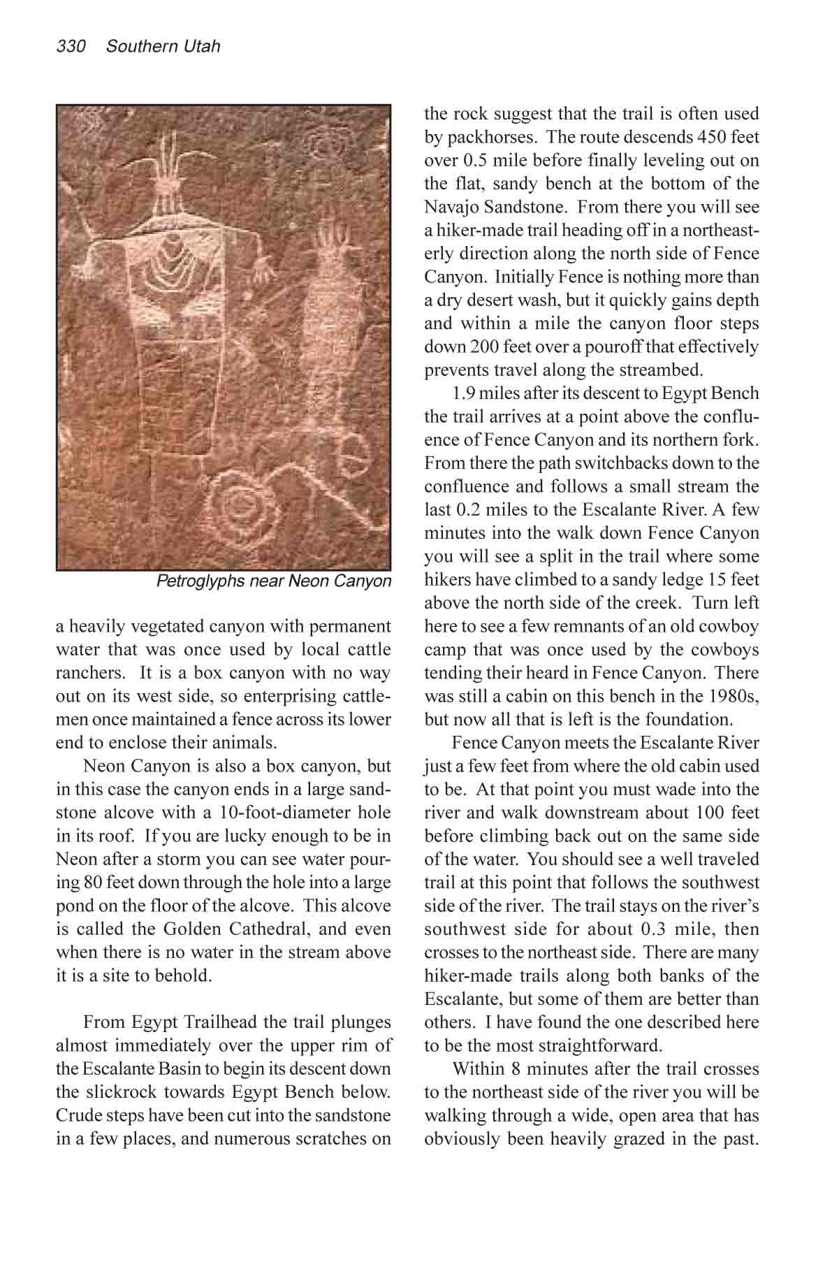
obviously been heavily grazed in the past. The river runs due east here with
low cliffs about 100 yards to the north. Watch the base of the cliffs and
soon you will see an interesting panel of Indian petroglyphs. Unfortunately
the panel has been partially defaced by some old cowboy graffiti, but some
of the graffiti is also quite interesting. There are several dates inscribed
in the rock, including one from 1881.
Continue walking east along the north side of the river,
and about 7 minutes after leaving the petroglyph panel the trail climbs up a
small sand dune and turns left into the mouth of Neon Canyon. The river
abruptly turns south at this point, so if you find yourself walking south
you have gone too far.
Neon Canyon is a deep narrow gorge about 200 feet wide
with sheer, 300-foot walls of Wingate Sandstone. The walk up the canyon
floor is extremely pleasant, with ample shade and lots of greenery (watch
out for the poison ivy). Other than a few boulders in the streambed near the
end, there are no obstacles along the way and the elevation gain is minimal.
After an easy walk of 0.9 mile you will arrive at your goal, the Golden
Cathedral.
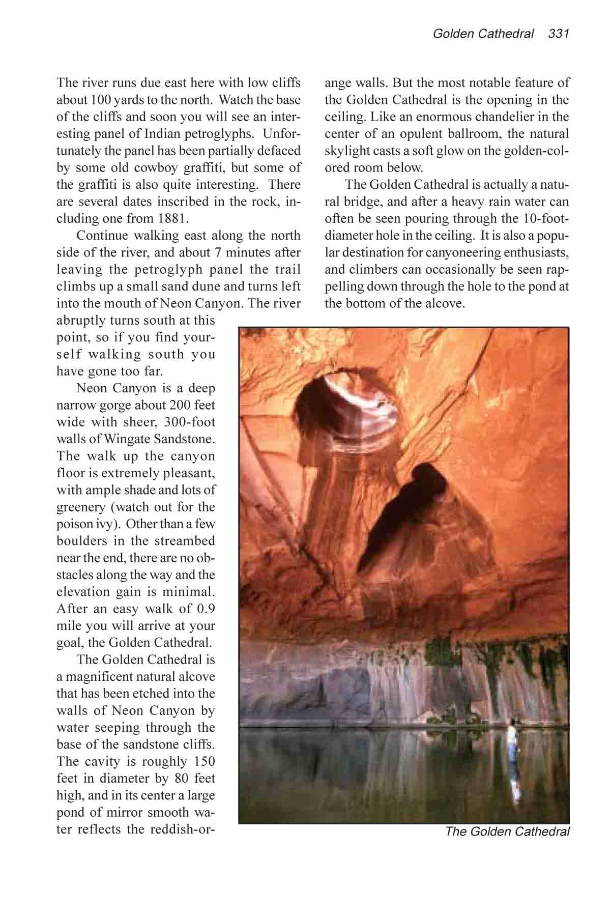
The Golden Cathedral is a magnificent natural alcove that
has been etched into the walls of Neon Canyon by water seeping through the
base of the sandstone cliffs. The cavity is roughly 150 feet in diameter by
80 feet high, and in its center a large pond of mirror smooth water reflects
the reddish-orange walls. But the most notable feature of the Golden
Cathedral is the opening in the ceiling. Like an enormous chandelier in the
center of an opulent ballroom, the natural skylight casts a soft glow on the
golden-colored room below.
The Golden Cathedral is actually a natural bridge, and
after a heavy rain water can often be seen pouring through the
10-foot-diameter hole in the ceiling. It is also a popular destination for
canyoneering enthusiasts, and climbers can occasionally be seen rappelling
down through the hole to the pond at the bottom of the alcove.
|