|
Links to other sites:
Ordering books & Maps
Comments about this site or our book:

|
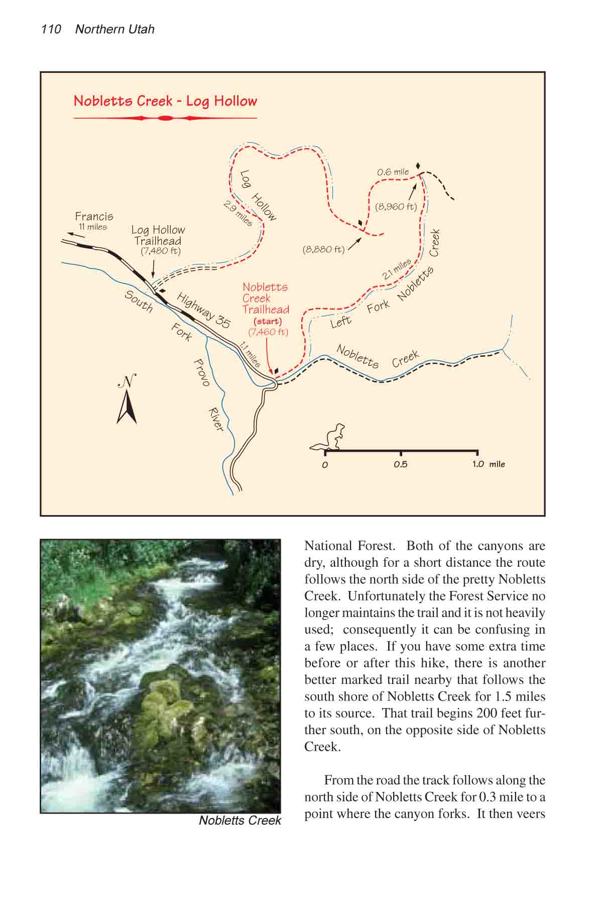
This is a very pleasant hike
through two small canyons on the edge of the Uinta National Forest.
Unfortunately both of the canyons are dry, although for a short
distance the walk is along the pretty Nobletts Creek. If you
have some extra time before or after this hike, there is another
nearby trail that follows the south shore of Nobletts Creek for
1.5 miles to its source. To find this trail, walk south on Highway
35 for another 200 feet beyond the Nobletts Creek Trailhead sign.
Just after the road crosses Nobletts Creek you will see a small
parking area, at the back of which is an unmarked trail to the
source of Nobletts Creek.
From the sign marking Nobletts
Creek Trailhead, the track follows along the north side of Nobletts
Creek for 0.3 mile to a point where the canyon forks. It then
veers away from the stream and begins the long, gentle climb
to the top of Left Fork Nobletts Canyon. After about 1.8 miles
the canyon widens into a long grassy meadow where you will see
an iron watering tank for sheep that are grazed in the area.
(Tanks like this one are often full of dead birds that fly in
to get a drink and drown trying to get out. If you want to help
the birds, put something that floats, like a piece of wood, in
the water so they will have a place to land when they come to
get water.)
The meadow ends abruptly a short
distance beyond the watering tank, and the trail intersects another
less well traveled path. You should turn left at this point and
follow the new trail in a westerly direction. After 0.3 mile
the track swings to the south and begins descending again. This
is the highest point on the hike. After another 0.3 mile you
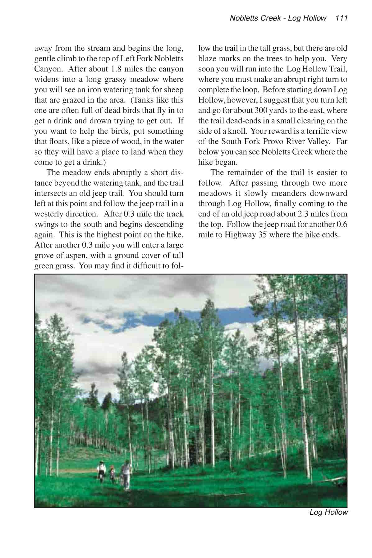
will enter a large grove of aspen, with a ground cover of tall
green grass. You may find it difficult to follow the trail in
the tall grass, but there are old blaze marks on the trees to
help you. Soon you will run into the much more distinct Log Hollow
Trail, where you should turn right to complete the loop. Before
starting down Log Hollow, however, I suggest that you turn left
and go for about 300 yards to the east, where the trail dead-ends
in a small clearing on the side of a knoll. Your reward is a
terrific view of the South Fork Provo River Valley. Far below
you can see the Nobletts Creek Trailhead where the hike began.
The remainder of the trail is quite
easy to follow. After passing through two more meadows it slowly
meanders downward through Log Hollow, finally coming to the end
of an old jeep road about 2.3 miles from the top. Follow the
jeep road for another 0.6 mile to Highway 35 where the hike ends. |