|
The first 1.3 miles of this hike are along the Red Elephant Nature Trail, named after a prominent peak four miles south of Big Creek Lake in the Mount Zirkel Wilderness Area. Red Elephant Mountain is clearly visible from Upper Big Creek Lake at the end of the nature trail. A Forest Service pamphlet, available at the trailhead, describes the fauna and flora along the trail at 25 numbered stops.
From the trailhead the path proceeds in a southerly direction along the west side of Big Creek Lake. This mile-long lake is the second largest natural lake in Colorado, and at 9,000 feet above sea level it is surrounded by a dense forest of Engelmann spruce and subalpine fir. The lake is very scenic and understandably popular with fisherman. Unfortunately the shore of the lake is often swampy, and to avoid marshes the Red Elephant Trail veers far inland from the shore so views of the water are not something you can expect. Nevertheless, this part of the hike is an extremely pleasant walk under a dense conifer canopy along a path that is almost perfectly level.
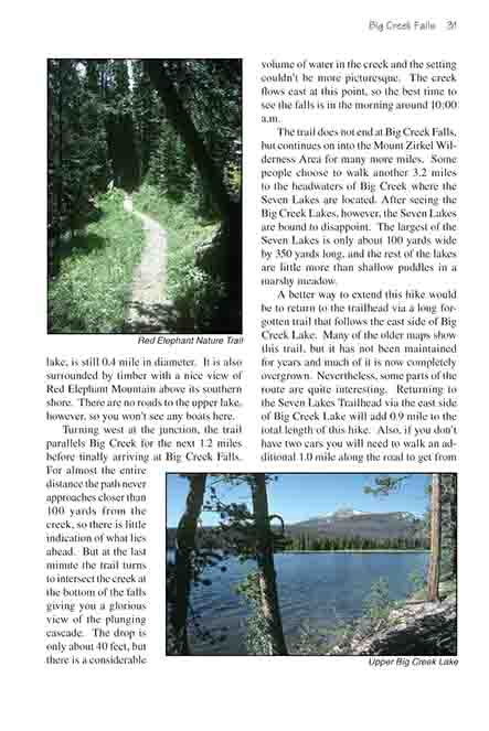
After 1.1 miles you will come to a trail junction where a sign points the way to Big Creek Falls on the right. Before continuing, however, you should turn left to complete the nature trail. It ends just 250 yards further on the north shore of Upper Big Creek Lake. The upper lake, while not as big as the lower lake, is still 0.4 mile in diameter. It is also surrounded by timber with a nice view of Red Elephant Mountain above its southern shore. There are no roads to the upper lake, however, so you won’t see any boats here.
Turning west at the junction, the trail parallels Big Creek for the next 1.2 miles before finally arriving at Big Creek Falls. For almost the entire distance the path never approaches closer than 100 yards from the creek, so there is little indication of what lies ahead. But at the last minute the trail turns to intersect the creek at the bottom of the falls giving you a glorious view of the plunging cascade. The drop is only about 40 feet, but there is a considerable volume of water in the creek and the setting couldn’t be more picturesque. The creek flows east at this point, so the best time to see the falls is in the morning around 10:00 a.m.
The trail does not end at Big Creek Falls, but continues on into the Mount Zirkel Wilderness Area for many more miles. Some people choose to walk another 3.2 miles to the headwaters of Big Creek where the Seven Lakes are located. After seeing the Big Creek Lakes, however, the Seven Lakes are bound to disappoint. The largest of the Seven Lakes is only about 100 yards wide by 350 yards long, and the rest of the lakes are little more than shallow puddles in a marshy meadow.
A better way to extend this hike would be to return to the trailhead via a long forgotten trail that follows the east side of Big Creek Lake. Many of the older maps show this trail, but it has not been maintained for years and much of it is now completely overgrown. Nevertheless, some parts of the route are quite interesting. Returning to the Seven Lakes Trailhead via the east side of Big Creek Lake will add 0.9 mile to the total length of this hike. Also, if you don’t have two cars you will need to walk an additional 1.0 mile along the road to get from the northeast side of the lake back to the northwest side where the starting trailhead is located.
To get on this old trail you must return to the end of the Red Elephant Natural Trail on the north side of Upper Big Creek Lake. From there just continue eastward along the faint trail that follows the north side of the lake. Soon the trail enters a marsh where the path was once elevated by a series of boardwalks. The old boardwalks are still there, but they are too dilapidated to do much good now so plan on getting your feet wet. After 0.4 mile the old trail comes to the section of Big Creek that flows between the upper and lower lakes. There was once a bridge across the creek at this point, but now the only option is to ford the stream. It is an easy ford if you have a good walking stick; the creek is about 20 feet wide here and the water is seldom more than 18 inches deep.
A good trail continues on the east side of the stream for a while, but after a few minutes it starts getting faint and soon it disappears altogether. The path passes through an old abandoned Forest Service campground on the southeast side of Big Creek Lake, and shortly after that you will be left to find your own way through the woods. Occasional glimpses of the lake through the trees make it tempting to search for a route near the shore as you proceed north, but unfortunately the shoreline is very swampy in this area. You will find it easier to walk along the edge of the forest just east of the marsh.
As you approach the northeast side of the lake the walking gets much easier, and soon you will be back on a real trail. The path passes the ruins of an old fishing lodge, then a few more recently constructed cabins, and finally you will come to the campground on the eastern shore. From there it is a 20-minute walk along the road back to the starting trailhead.
|