The Dolores River, which drains the western side of the
Uncompahgre Plateau and the San Juan Mountains, offers an often-overlooked
hiking opportunity near the Utah border. The waterway is particularly scenic
where it flows between the towns of Slick Rock and Bedrock, for here it has
carved a winding gorge in the desert sandstone that is frequently over a
thousand feet deep. This section of river, called the Dolores River Canyon,
has been recommended for designation as a wild river under the Wild and
Scenic Rivers Act, and the surrounding terrain is also being studied by the
Bureau of Land Management as a possible wilderness area.
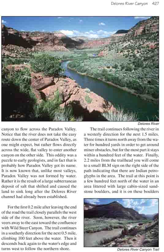
The hike begins near the town of Bedrock, where the
Dolores River exits the canyon to flow across the Paradox Valley. Notice
that the river does not take the easy route down the center of Paradox
Valley, as one might expect, but rather flows directly across the wide,
flat valley to enter another canyon on the other side. This oddity was a
puzzle to early geologists, and in fact that is probably how Paradox
Valley got its name. It is now known that, unlike most valleys, Paradox
Valley was not formed by water. Rather it is the result of a large
subterranean deposit of salt that shifted and caused the land to sink
long after the Dolores River channel had already been established.
For the first 0.2 mile after leaving the end of the
road the trail closely parallels the west side of the river. Soon,
however, the river veers away to the east toward the confluence with
Wild Steer Canyon. The trail continues in a southerly direction for the
next 0.5 mile, climbing 100 feet above the water. Then it descends back
again to the water's edge and turns west to follow the northern shore.
The trail continues following the river in a westerly
direction for the next 1.5 miles. Three times it turns north away from the
water for hundred yards in order to get around miner obstacles, but for the
most part it stays within a hundred feet of the water. Finally, 2.2 miles
from the trailhead you will come to a small BLM sign on the right side of
the path indicating that there are Indian petroglyphs in the area. The trail
at this point is a few hundred feet north of the water in an area littered
with large cabin-sized sandstone boulders, and it is on these boulders that
you will find the rock art.
The most obvious drawings are on a 15-foot-high boulder
near the BLM sign about 30 feet north of the trail. The boulder has one flat
side facing the trail that has a number of weathered petroglyphs chipped
into its surface. This and several other nearby boulders are decorated with
a variety of abstract drawings that include bear paws, spirals, snakes,
several human-like figures with oversize feet and hands, and at least one
antelope.
One of the boulders near the petroglyph site also
contains several faint but unmistakable dinosaur tracks. Walk back down the
trail about 40 feet east of the BLM sign; then turn north and walk another
40 feet north of the trail. You will come to a large boulder with a flat
side that faces away from the trail toward the cliffs. Look carefully at the
flat surface and you should see the fossilized tracks.
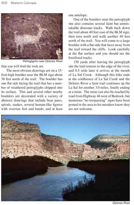
150 yards after leaving the petroglyph site the trail
returns to the edge of the river, and 0.5 mile later it arrives at the mouth
of La Sal Creek. Although this hike ends at the confluence of La Sal Creek
and the Dolores River a faint trail continues up the La Sal for another 3.0
miles, finally ending at a mine. The mine can also be reached by road from
Highway 46 west of Bedrock, but numerous "no trespassing" signs have been
posted in the area to let outsiders know they are not welcome.