Mount Audubon, though one of the highest summits in the
Indian Peaks Wilderness Area, is also one of the easiest peaks to climb. The
high, rounded mountain has been whimsically described by author Ruth Cushman
as looking like "a dish of ice cream with one spoonful taken from its side".
I would describe it as a buxom young woman lying slightly on her side. Yet
the gentle curving summit Audubon is bordered by a sea of jagged peaks that
seem to be breaking on its western slopes like waves in a fierce tropical
storm. It is in large part the views of these other Indian Peaks on the
nearby Continental Divide, along with the glaciers and the tarns below them,
that make this climb a memorable one. The sweeping panoramas of the rugged
wilderness west of Mount Audubon are very dramatic.
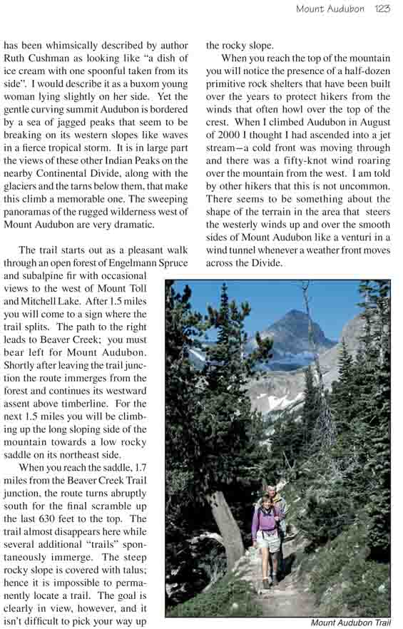
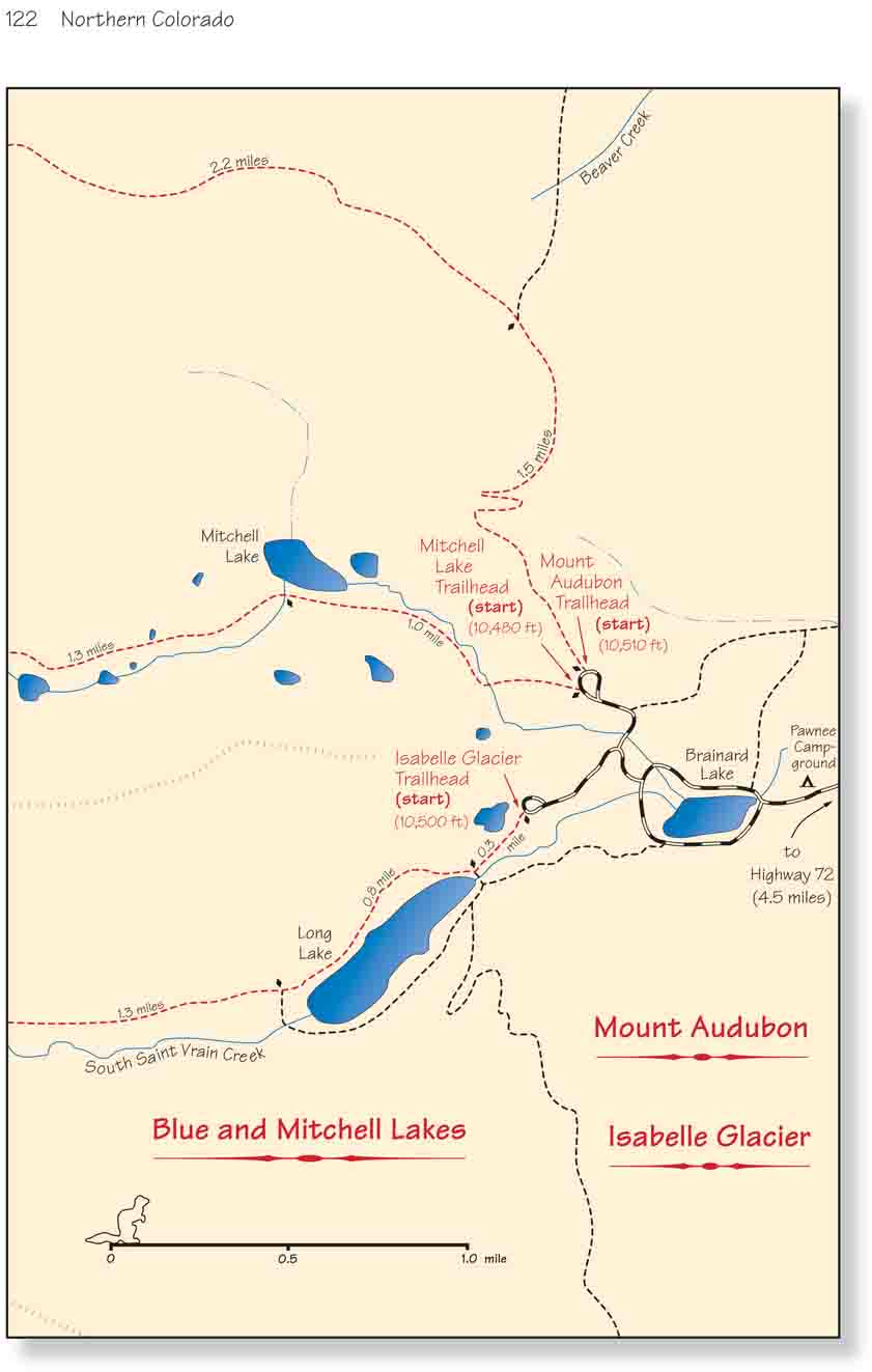
The trail starts out as a pleasant walk through an open
forest of Engelmann Spruce and subalpine fir with occasional views to the
west of Mount Toll and Mitchell Lake. After 1.5 miles you will come to a
sign where the trail splits. The path to the right leads to Beaver Creek;
you must bear left for Mount Audubon. Shortly after leaving the trail
junction the route immerges from the forest and continues its westward
assent above timberline. For the next 1.5 miles you will be climbing up the
long sloping side of the mountain towards a low rocky saddle on its
northeast side.
When you reach the saddle, 1.7 miles from the Beaver
Creek Trail junction, the route turns abruptly south for the final scramble
up the last 630 feet to the top. The trail almost disappears here while
several additional "trails" spontaneously immerge. The steep rocky slope is
covered with talus; hence it is impossible to permanently locate a trail.
The goal is clearly in view, however, and it isn’t difficult to pick your
way up the rocky slope.
When you reach the top of the mountain you will notice the presence of a
half-dozen primitive rock shelters that have been built over the years to
protect hikers from the winds that often howl over the top of the crest.
When I climbed Audubon in August of 2000 I thought I had ascended into a jet
stream-a cold front was moving through and there was a fifty-knot wind
roaring over the mountain from the west. I am told by other hikers that this
is not uncommon. There seems to be something about the shape of the terrain
in the area that steers the westerly winds up and over the smooth sides of
Mount Audubon like a venturi in a wind tunnel whenever a weather front moves
across the Divide.