Lambs Canyon Elbow Fork
excerpted from our book
Salt Lake City's Incredible Hiking and Biking Trails
pages 35-38
|
Buy book directly from the author!
Salt Lake City's Incredible Hiking and Biking Trails
- has access info for 73 trailheads
- 73 colorful trail maps
- 325 full color photographs
- loads of hiking tips
|
regularly $19.95
now on sale for only
$9.95
click here
for book orders
|
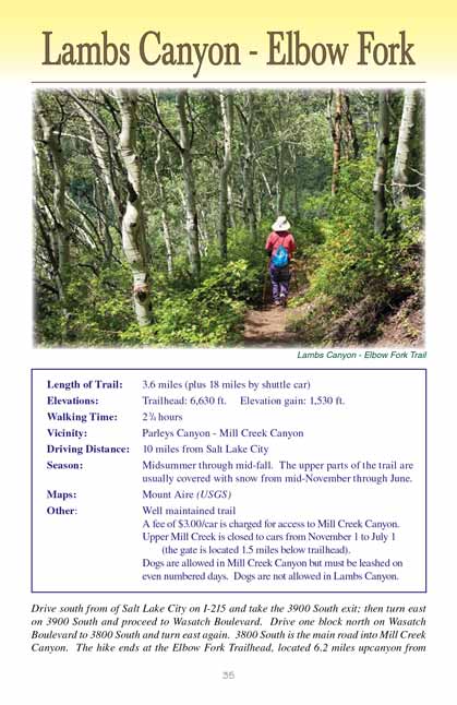
 This is the only developed trail that crosses the ridge between Parleys Canyon and Mill Creek Canyon. It is also an extraordinarily
verdant trail, rich in a wide variety of plant life and well shaded by a dense forest canopy. The trail
up Lambs Canyon, above Parleys Canyon on the north-facing side of the
ridge, is particularly pretty although large sections of the conifer forest have been adversely effected by pine beetles. The forest on the south side of the
ridge along Elbow Fork is mostly composed of quaking aspen; hence it is largely unaffected by the insects.
This is the only developed trail that crosses the ridge between Parleys Canyon and Mill Creek Canyon. It is also an extraordinarily
verdant trail, rich in a wide variety of plant life and well shaded by a dense forest canopy. The trail
up Lambs Canyon, above Parleys Canyon on the north-facing side of the
ridge, is particularly pretty although large sections of the conifer forest have been adversely effected by pine beetles. The forest on the south side of the
ridge along Elbow Fork is mostly composed of quaking aspen; hence it is largely unaffected by the insects.
Because of the long shuttle required to connect the two trailheads most people hike only to the top of the ridge between the two canyons and return the same way.
The distance and elevation gain from either the Lambs Canyon trailhead or the
Elbow Fork trailhead to the ridge is about the same. If you can position a shuttle car at one of the trailheads, however, the
walk between the two canyons is a delightful hike. The north-facing and south-facing sides of the ridge are quite different, and it is interesting to see how
the vegetation changes as you cross from one side to the other. The hike described here begins in Lambs Canyon, but you can just as well begin
at Elbow Fork in Mill Creek
Canyon.
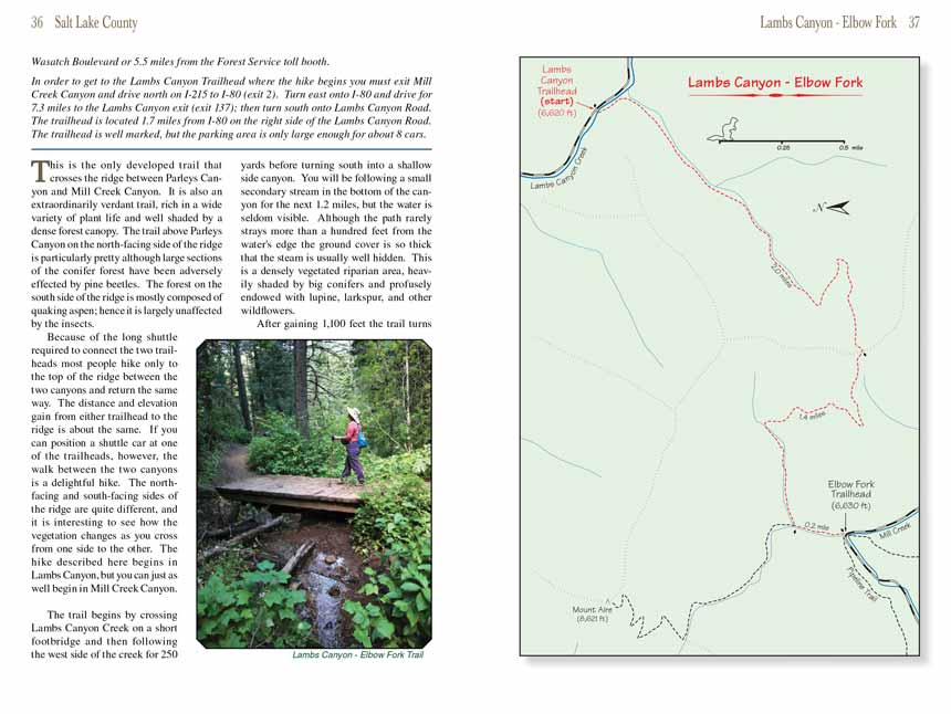
The trail begins by crossing Lambs Canyon Creek on a short footbridge and then following the west side of the creek for 250 yards before turning south into a
shallow side canyon. You will be following a small secondary stream in the bottom of the canyon for the next 1.2 miles, but the water is seldom visible.
Although the path through Lambs Canyon rarely strays more than a hundred feet from the water's edge the ground cover is so thick that the steam is usually well hidden. This
is a densely vegetated riparian area, heavily shaded by big conifers and profusely endowed with lupine, larkspur, and other wildflowers.
After gaining 1,100 feet the Lambs Canyon trail turns left and begins climbing away from the streambed on the east side of the canyon. The path climbs through a long
switchback and then levels out 0.4 mile later as it approaches the top of the ridge. The forest in this area is dominated by quaking aspen, and when you
cross the ridge you may be disappointed to see that the aspen trees do not afford much of a view into the canyons below the ridge.
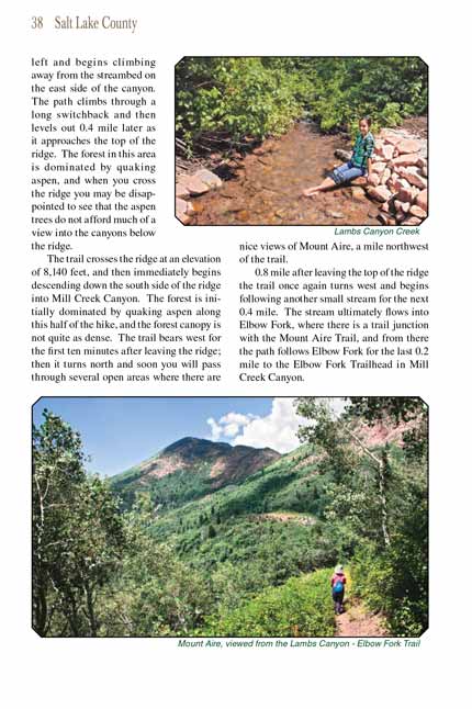
The trail crosses the ridge at an elevation of 8,140 feet, and then immediately begins descending down the south side of the ridge
towards Elbow Fork in Mill Creek Canyon.
The forest is initially dominated by quaking aspen along this half of the hike, and the forest canopy is not quite as dense. The
Elbow Fork trail bears west for the
first ten minutes after leaving the ridge; then it turns north and soon you will pass through several open areas where there are nice views of Mount Aire,
a mile northwest of the trail.
0.8 mile after leaving the top of the ridge the trail once again turns west and begins following another small stream for the next 0.4 mile. The stream
ultimately flows into Elbow Fork, where there is a trail junction with the Mount Aire Trail, and from there the path follows Elbow Fork for the last 0.2
mile to the Elbow Fork Trailhead in Mill Creek Canyon.
Note to web developers: You may copy this material onto your site, but in return please include a link to my home page
www.utahtrails.com. Thank you, David Day (utahdavidday
at gmail).com
Click here to see more
trails near Salt Lake City
© Rincon Publishing Company, all rights reserved
|